 MID-WEST FARM REPORT - MADISON
Your 2024 Spring Weather Outlook
The ongoing El Niño event in the Pacific Ocean, particularly off the coast of South America, is causing record-setting warm winters in Wisconsin, leading to lower snowfall totals and drier conditions. Shane Hubbard, research scientist at the Space Science and Engineering Center at UW-Madison, is closely monitoring the situation as this El Niño event is considered one of the strongest in history.
"The impacts of El Niño are evident in Wisconsin, with warmer conditions persisting from November through December and into mid-January," explains Hubbard. "This event is likely to be one of the top five El Niño events, and historically, we often see a transition from El Niño to La Niña conditions."
Three consecutive La Niñas have been observed, with a high likelihood of another occurring next winter. This pattern of alternating between El Niño and La Niña conditions is common after a particularly strong El Niño event.
Wisconsin has already experienced a significant decrease in snowfall, with southern regions approximately 17 inches below normal and even higher deficits in northern areas. The state is bracing for a cool down towards the end of January, but Hubbard says there is still potential for extended dry conditions.
In 1 playlist(s)

MID-WEST FARM REPORT - MADISON
Daily audio and podcasts from the Mid-West Farm Report Madison!Social links
Follow podcast
Recent clips
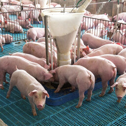
2026 Shows Healthy Pork Market
06:13
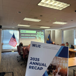
WLIC Sees Success In Premise ID Renewals
07:02

Stay Ahead Of Supply Chain Demands With Carbon Scores
06:24